🇬🇧 MOUTH OF THE ESGUEVA RIVER (Valladolid)
Text and photos: Javier Prieto Gallego / Translation: Amy Harmon
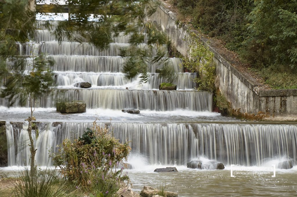
The city of Valladolid was founded on a territory demarcated by the confluence of the Esgueva and Pisuerga rivers. The absence of significant slopes in this interfluvial territory also meant that when the Esgueva’s flow was strong, its branches would overflow, turning the city into a swampy Venice with flooded and impassable streets until the waters receded.
It was in the mid-19th century that the partial covering of the river was decided upon to address these problems. At the beginning of the 20th century, work began to divert the river’s branches, combining them shortly before reaching the city into a single underground channel and burying the old riverbeds. This single and artificial channel is what now reaches Valladolid from one side, emptying its waters into the Pisuerga River at the point where an old power plant was located, operational until the 1970s.
WHERE IS THE COVER PHOTO TAKEN?
SUSCRÍBETE A LAS NOVEDADES DEL BLOG Y TE HAGO UN REGALO